In the world of science, researchers have recently crafted the most accurate map to date of
Zealandia, a peculiar submerged landmass often referred to as the "8th
continent".
However, the concept of continents becomes a bit hazy when viewed through a global perspective. Different cultures and disciplines have varying interpretations of what constitutes a continent. For example, Indians recognize seven continents, while Russians argue for six, merging
Europe and Asia. Even the Olympics have their unique take on continents, with five coloured rings symbolising continents, excluding Antarctica.
Nevertheless, when viewed from a geological standpoint, continents align with the massive land masses of continental crust that rest on tectonic plates. Yet,
Earth also hosts smaller chunks of crust known as "microcontinents".
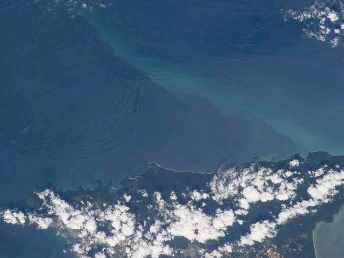
Now, let's journey back in time, about 23 million years ago, when one of these microcontinents, Zealandia, sank beneath the
Pacific Ocean, leaving only 6% above water, which is now modern-day
New Zealand and some nearby islands. Remarkably, Zealandia, despite being six times larger than the next-largest microcontinent, still shares the same designation.
Zealandia spans approximately 4.9 million square kilometres, making it half the size of Australia, twice as large as Greenland, and bigger than the Indian subcontinent. While many geologists argue that Zealandia meets all the criteria for full continent status, it lacks even the modest "sub" prefix in its name.
But beyond debates about titles, experts have been diligently working to define Zealandia's boundaries and geological structure, continually refining maps as new research methods and findings emerge. This task is exceptionally challenging due to the extensive submersion of the microcontinent.
Fortunately, recent rock samples retrieved from the ocean floor in the region have significantly contributed to this effort, resulting in the most precise map of Zealandia to date. These mapping efforts involve the analysis of rock and sediment samples obtained from drilling sites and the examination of seismic and magnetic data. These investigations reveal geological features such as subduction zones and slips, essential for establishing clearer tectonic boundaries.
Considering all available evidence, scientists speculate that the region's intriguing magnetic anomalies, particularly the Campbell Magnetic Anomaly, likely formed during the breakup of
Gondwana — an ancient supercontinent encompassing various landmasses, including India and Zealandia. This event eventually led to the formation of Zealandia's oceanic floor.
The findings of this study have been published in
Tectonics and can be accessed
here.

 Next Story
 A couple accidentally shipped their cat in an Amazon return package. It arrived safely 6 days later, hundreds of miles away.
 A centenarian who starts her day with gentle exercise and loves walks shares 5 longevity tips, including staying single
  2 states where home prices are falling because there are too many houses and not enough buyers
 "To sit and talk in the box...!" Kohli's message to critics as RCB wrecks GT in IPL Match 45
 7 Nutritious and flavourful tiffin ideas to pack for school
 India's e-commerce market set to skyrocket as the country's digital economy surges to USD 1 Trillion by 2030
 Top 5 places to visit near Rishikesh
 Indian economy remains in bright spot: Ministry of Finance
